Celestial Navigation
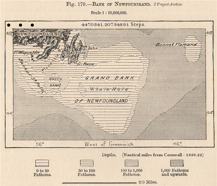
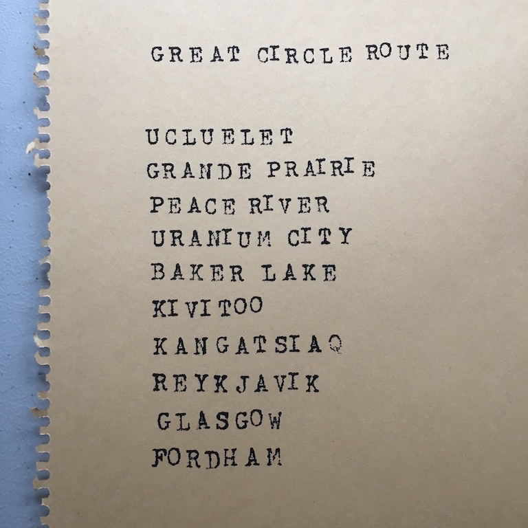
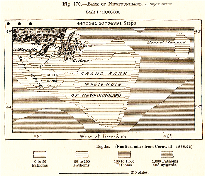
Using celestial navigation, Carly has been calculating the shortest route for her virtual walk from Ucluelet to the UK. A great circle route uses a gnomonic chart to find the shortest route from one point to another across the globe. For the S Project the route goes over the Arctic.
Much of the S Project is about our perceptions of direction and location, and how those perceptions change when confronted with seemingly ‘outdated’ processes such as celestial navigation. With GPS, for example, we always know exactly where we are, but we often have no idea where that actually is. Learning celestial navigation means always knowing where ‘here’ is, as long as you can see the sky.
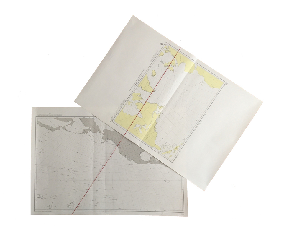
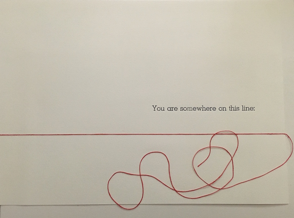

Translating both the mathematics and plotting process into a series of works, the navigation portion of the S Project consists of letterpress, navigation calculations, text-based works, modified nautical charts, video and plotting sheets. These include the actual spherical trigonometry calculations used to find the Great Circle Route and calculate positions, and a set of instructions on how to walk and find your position using celestial navigation calculations; highlighting both the specific mechanics of the walking and navigating process, as well as the relative absurd complexity of charting a walking journey as though you are at sea.
An anonymous sailor once wrote of navigation, ‘It both is what it is, and points beyond itself.’ In learning how to navigate across an ocean, we’re also learning to navigate our own domestic spaces, a smaller area, but no less interesting.
